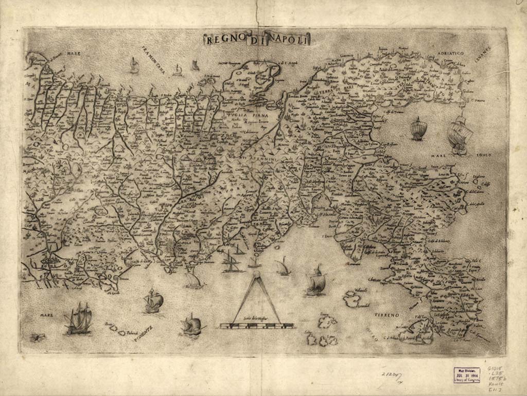
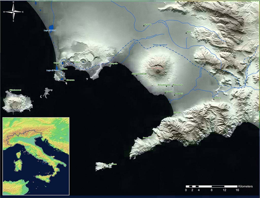
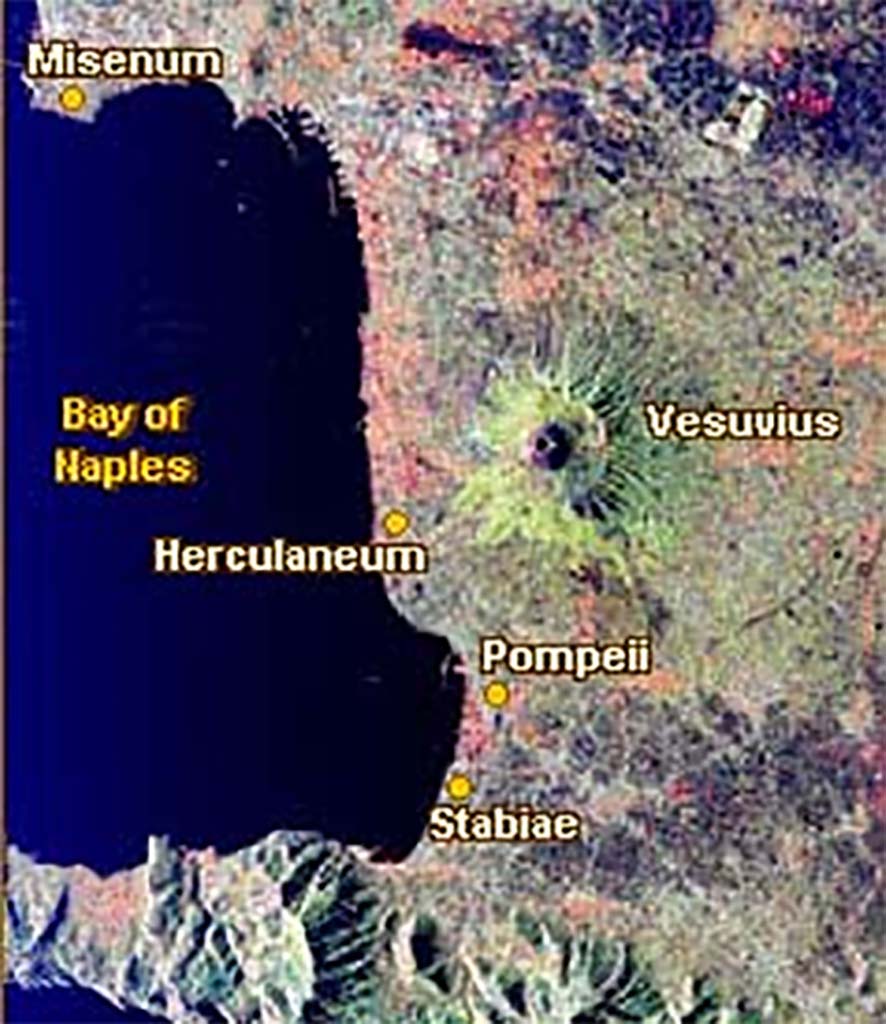
Royaume de Naples, Regno di Napoli, Bay of Naples Maps
Press the map photo to see a larger resolution version
A second press on the larger version will enlarge it further if available
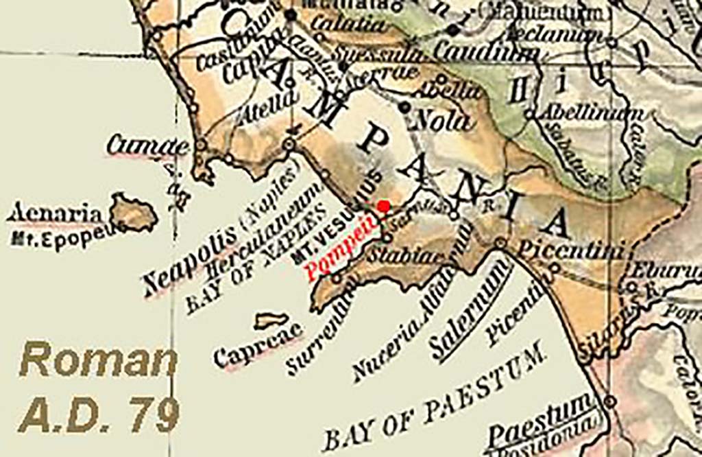
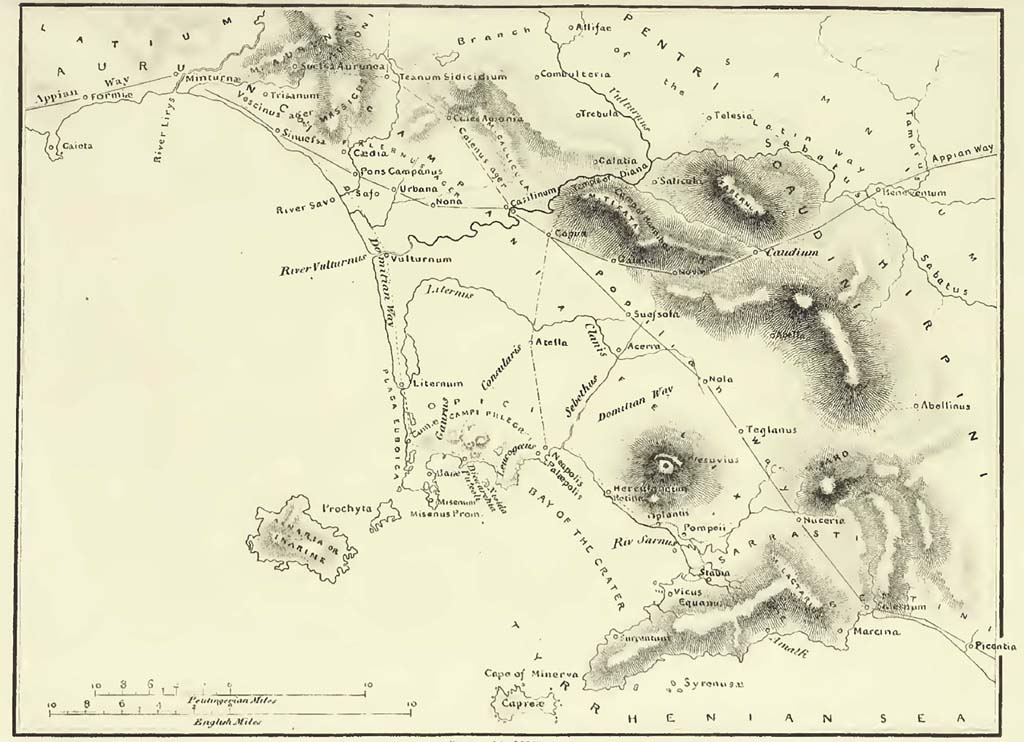
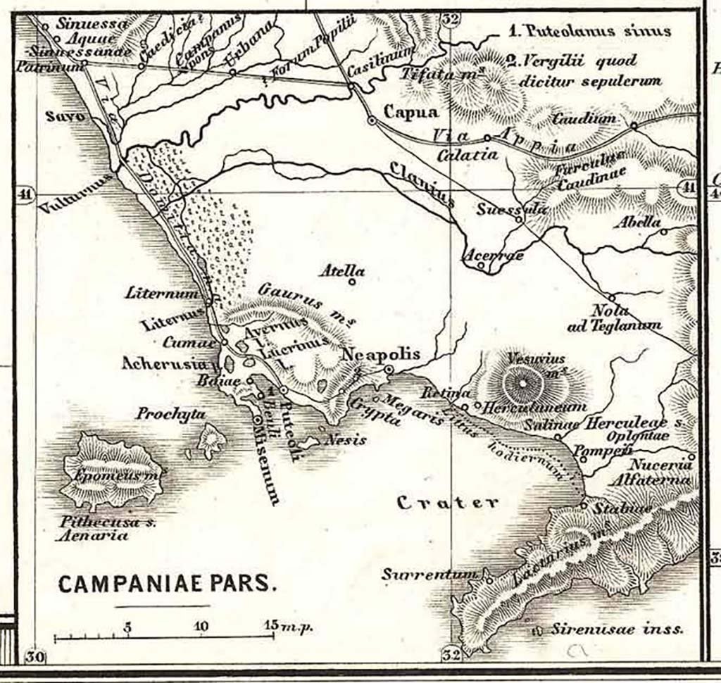
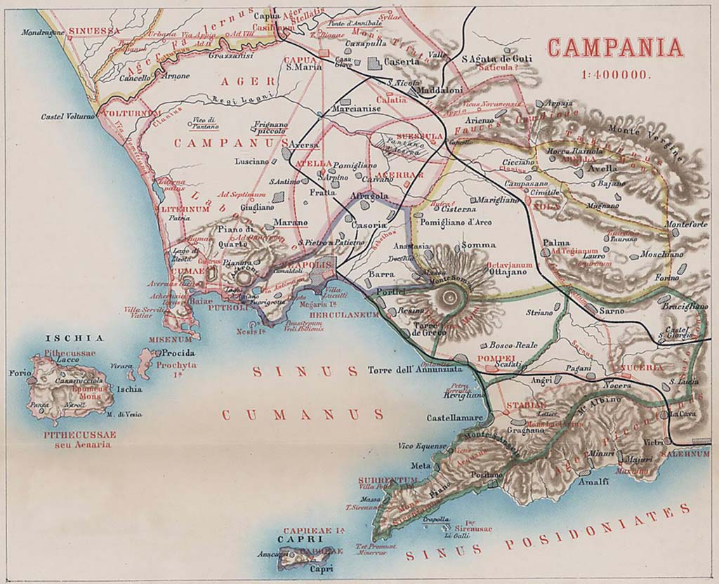
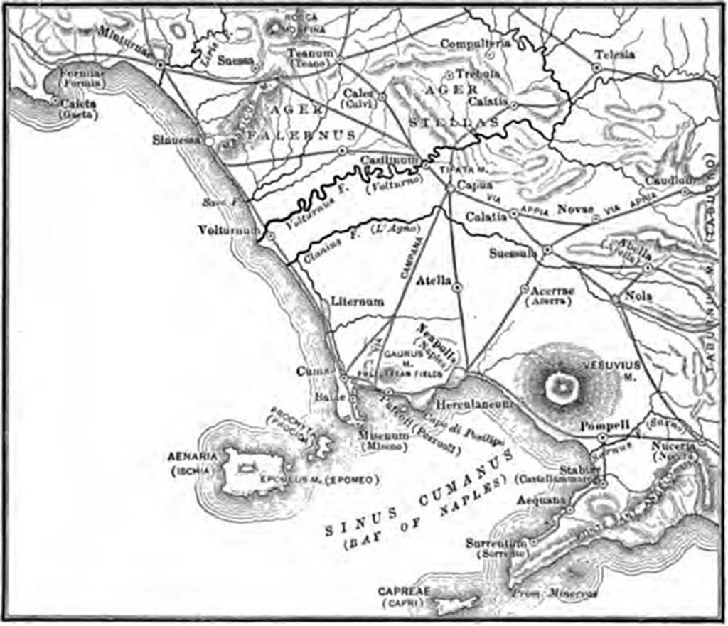
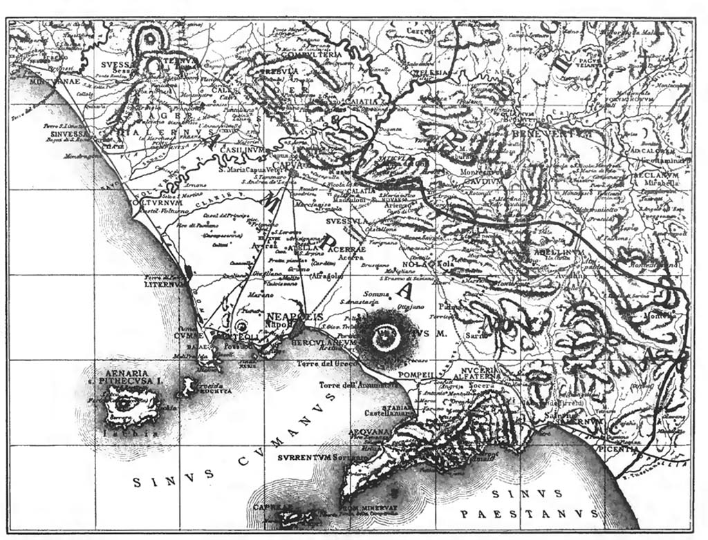
Bay of Naples 79AD
Map of Bay of Naples and Roman Campania showing Pompeii. After Shepherd Historical Atlas 1911 from Wikimedia.
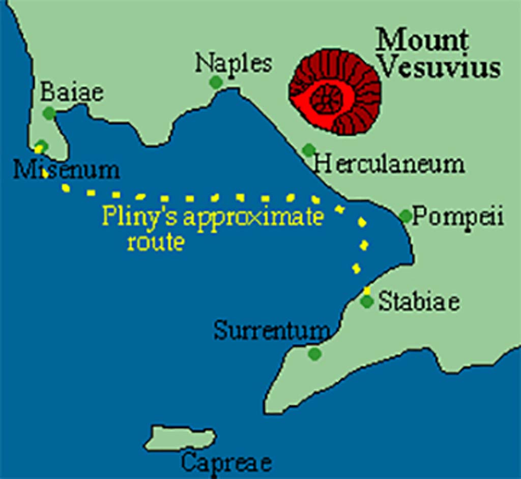
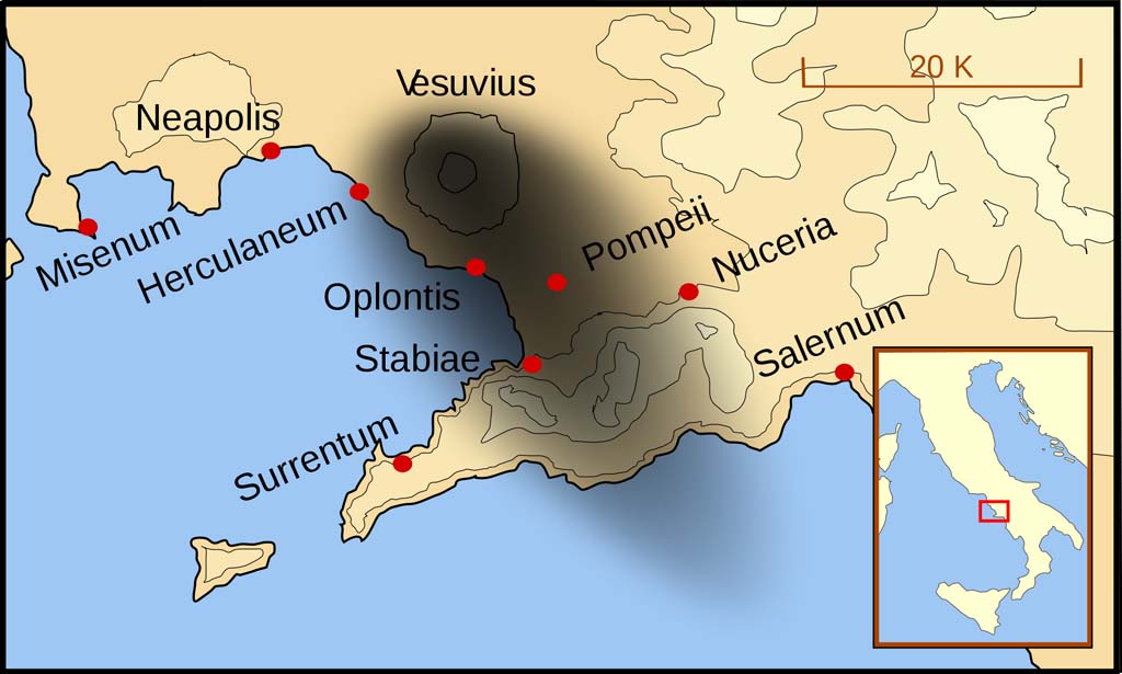
Bay of Naples 79AD
Sketch of Bay of Naples in 79AD showing the approximate route taken by Pliny the Elder from Misenum to Stabiae in his attempted rescue mission.
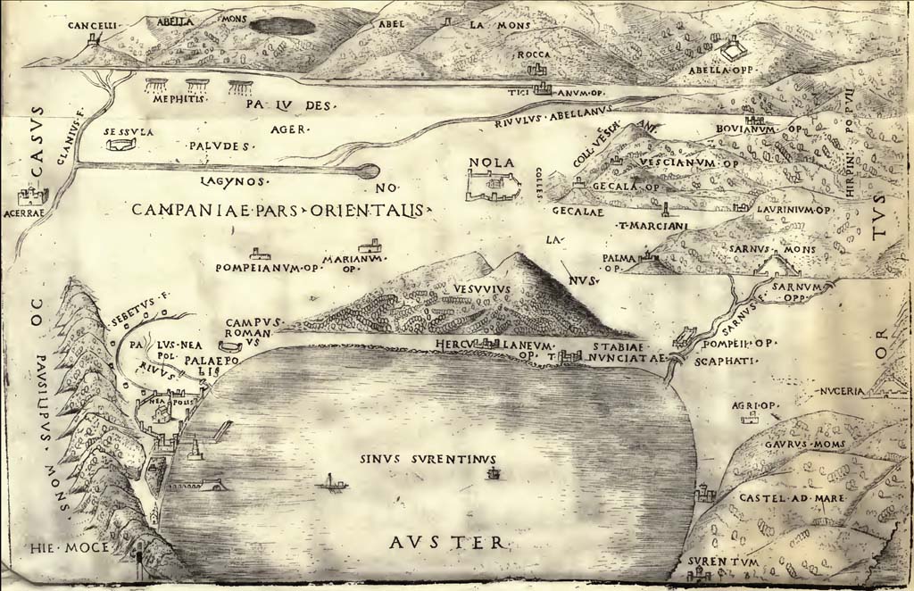
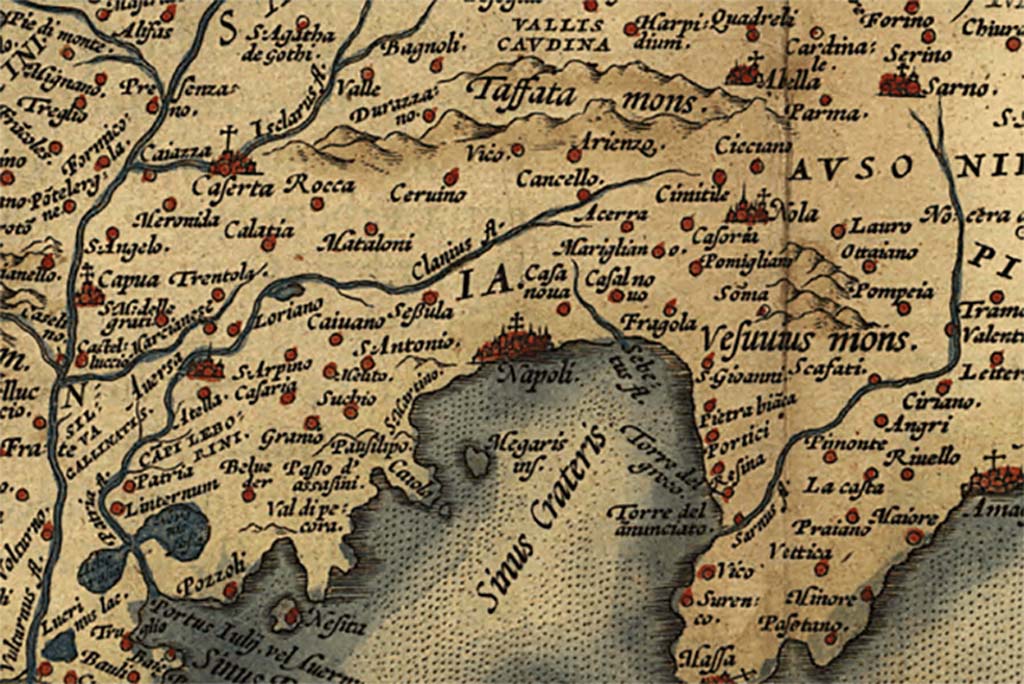
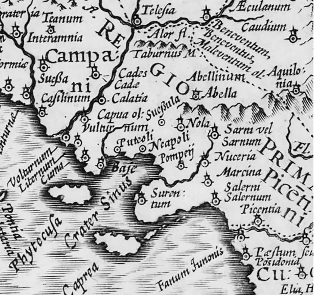
Bay of Naples and Eastern Campania 1514
Map of Eastern Campania by Girolamo Mocetto published in 1514 in De Nola: Opusculum, Distinctum, Plenum, Clarum, Doctum, Pulcrum, Verum, Graue, Varium & Utile.
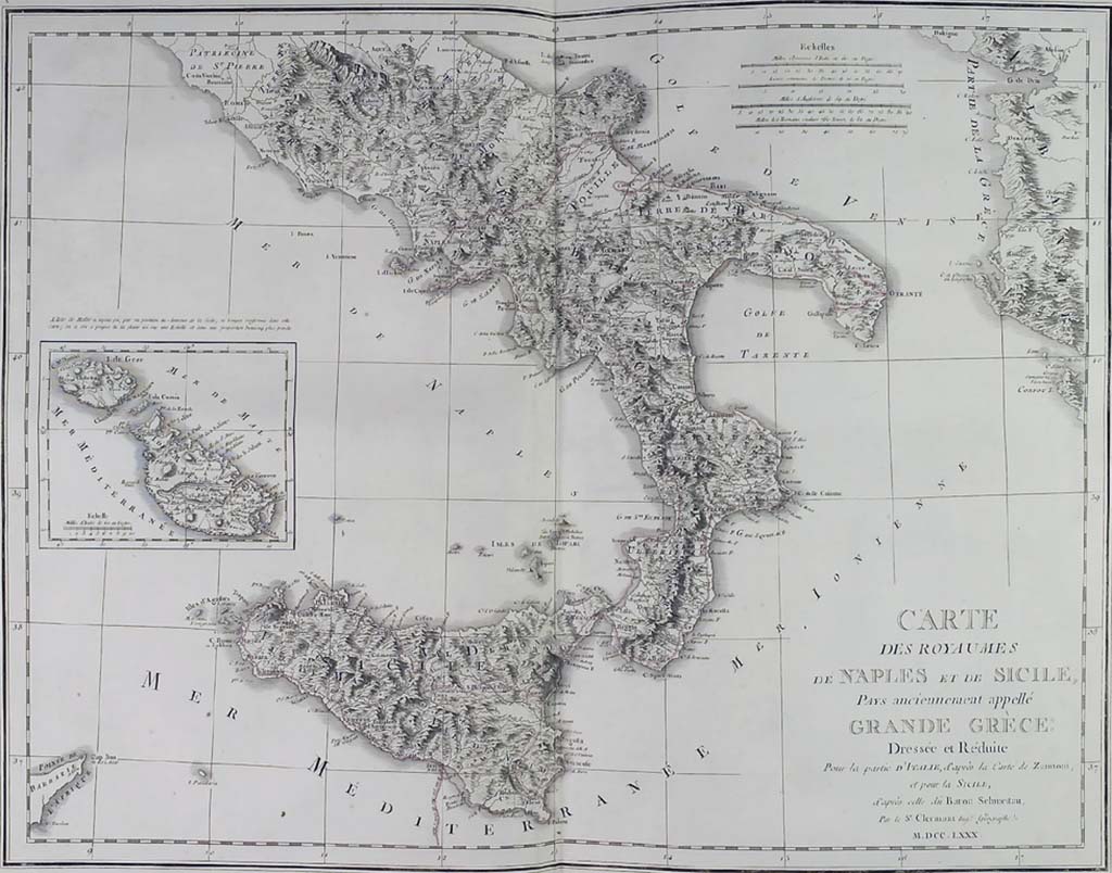
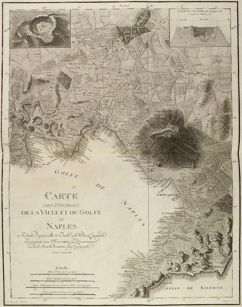
Royaume de Naples et de Sicile 1780
Map of the Royaume de Naples et de Sicile in 1780. From Saint Non J., Voyage pittoresque ou description des Royaumes de Naples et de Sicile: Premier Volume, Premiere Partie, 1781.
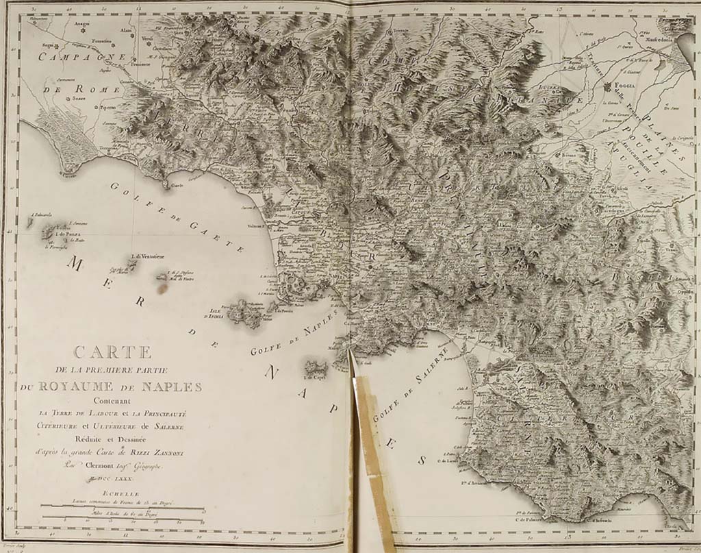
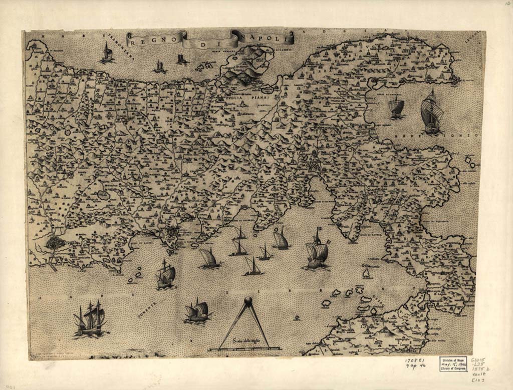
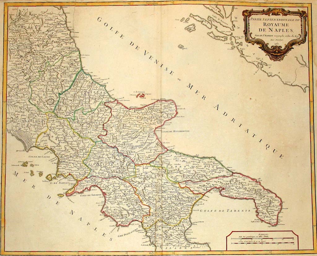
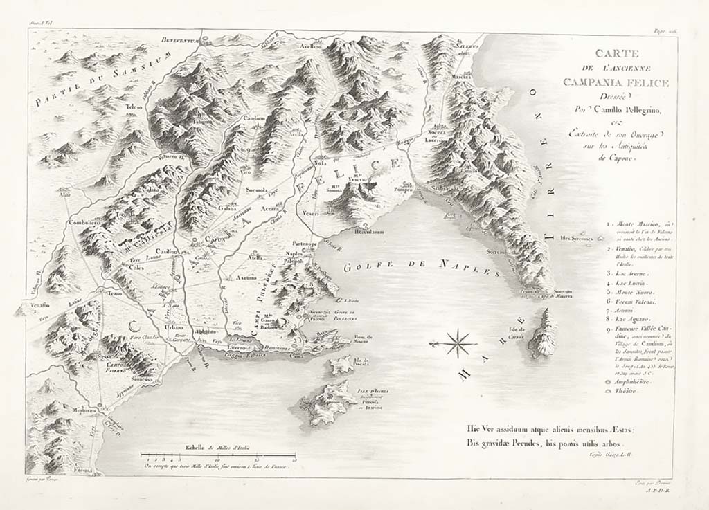
Royaume de Naples 1780
Map of the Royaume de Naples in 1780. From Saint Non J., Voyage pittoresque ou description Des Royaumes de Naples et de Sicile: Tome primo, 1781.
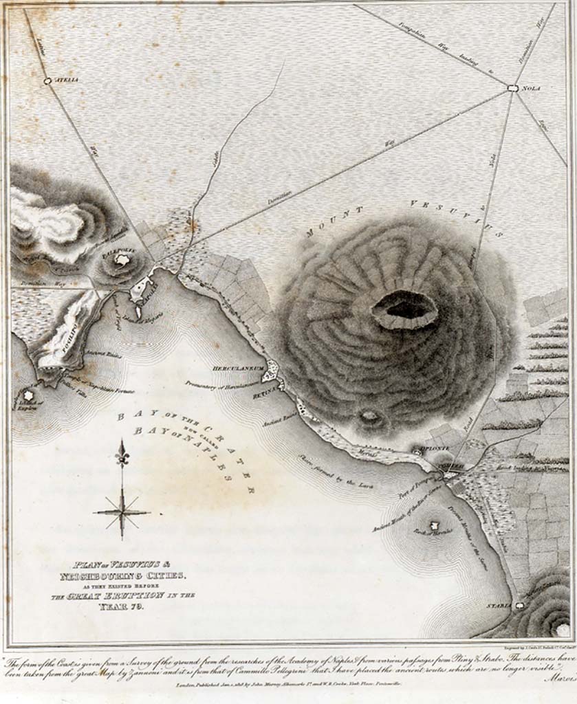
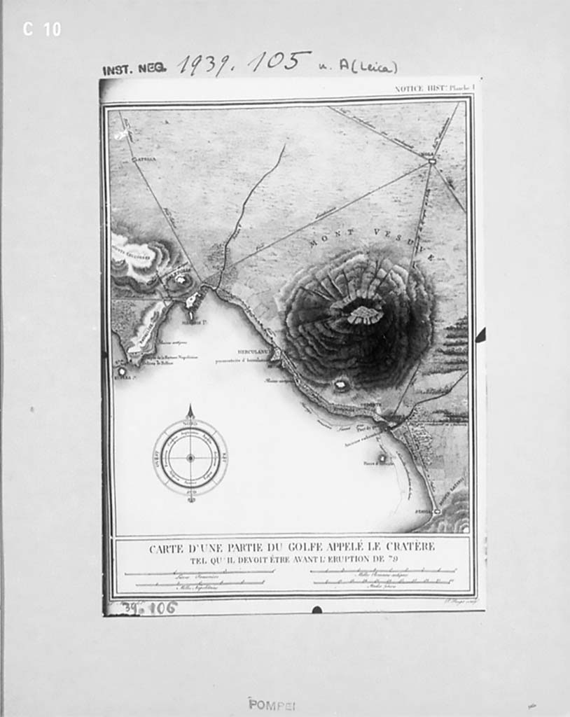
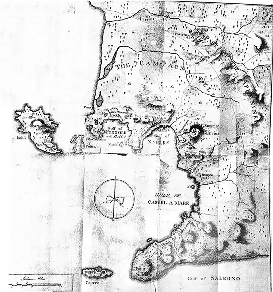
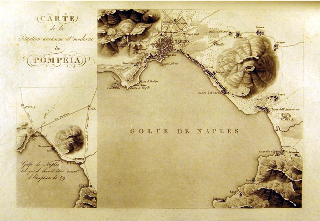
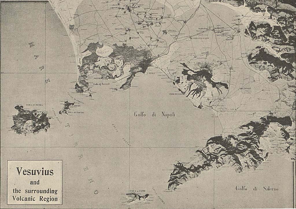
Bay of Naples 1818
Map showing Vesuvius and neighbouring cities as they were in AD79.
Published in Cooke, Cockburn, Donaldson, Pompeii, Part 1, 1827, plate 3.
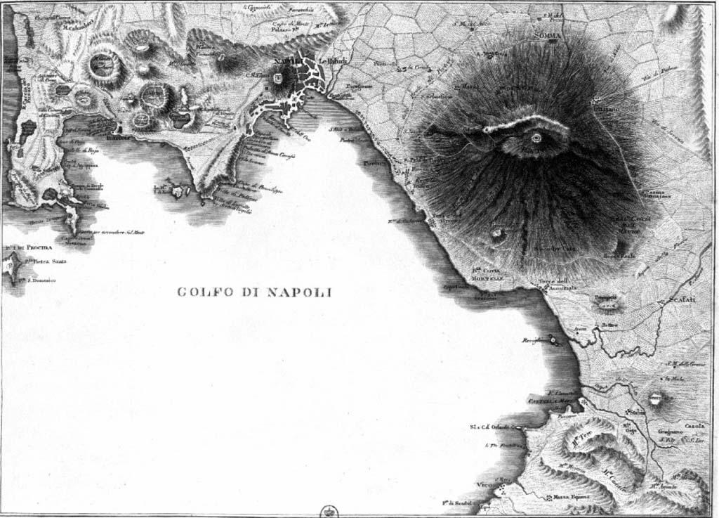
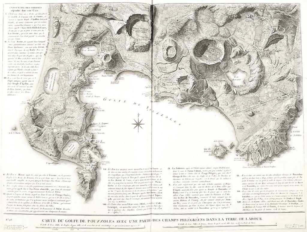
Bay of Naples 1819
Map of Bay of Naples by Wilkins.
See Henry Wilkins, Suite des Vues Pittoresque des ruines de Pompei 1819.
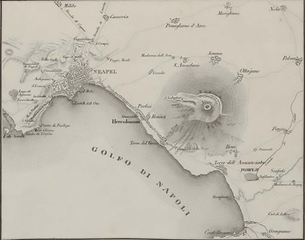
Bay of Naples 1828
Zahn W, Die schönsten Ornamente und merkwürdigsten Gemälde aus Pompeji, Herculanum und Stabiae, 1828, Band 1, plate 1.
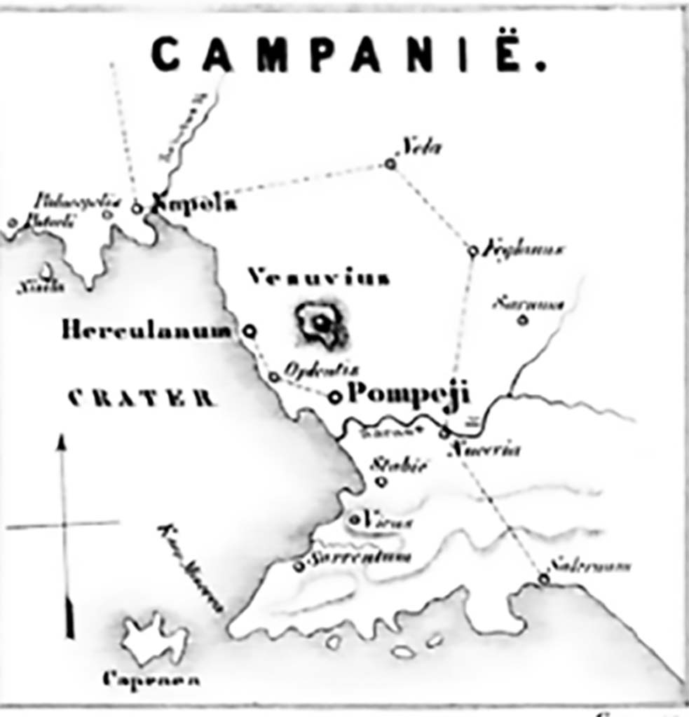
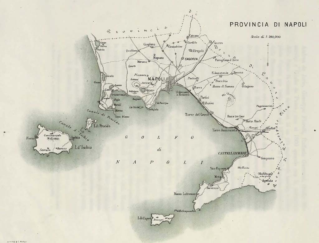
Bay of Naples 1864
Plan of Bay of Naples 1864 by J. J. C. de Wijs published in Bouwkundige Bijdragen, Deel 17, 1870. Photo from Wikimedia.
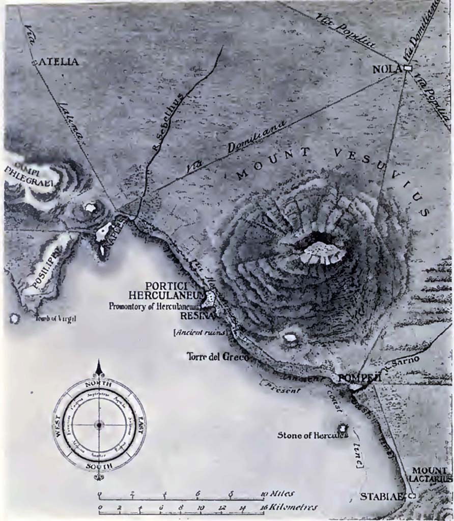
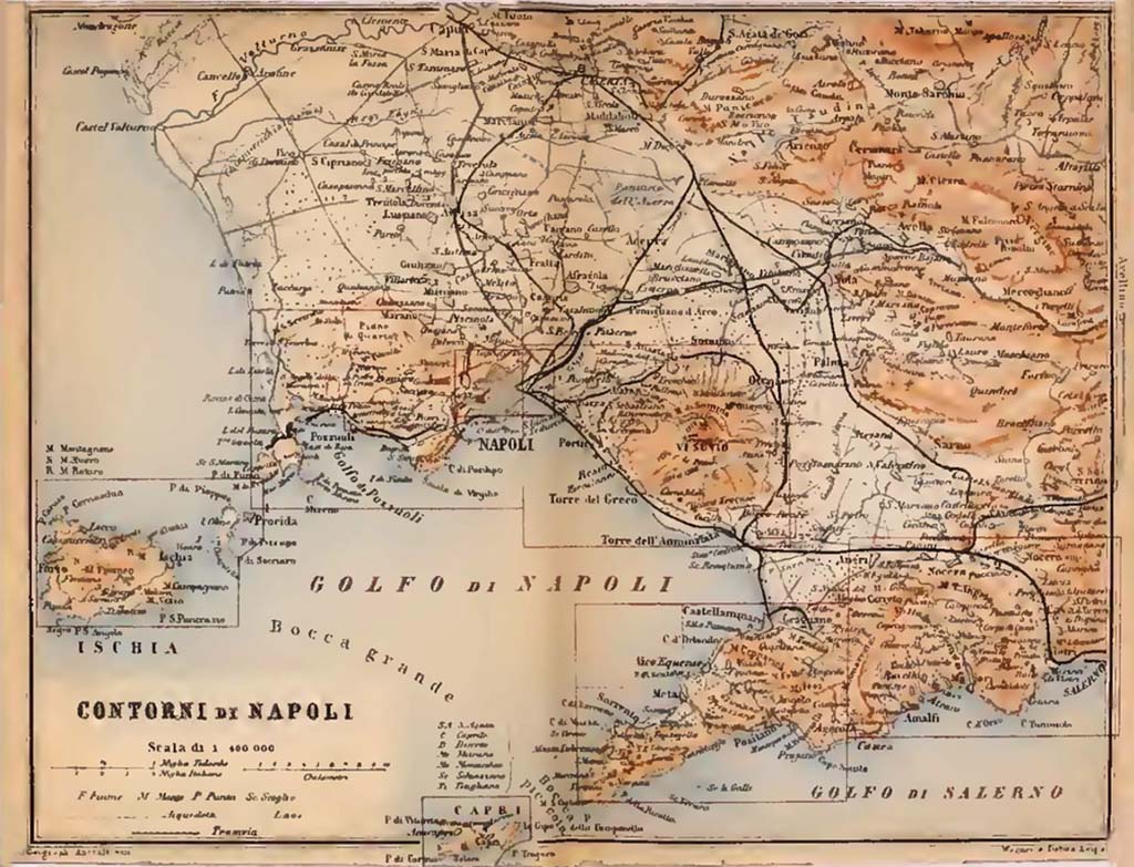
Bay of Naples 1908
Map of the Campanian Coast "after Mazois" by Ethel Ross Barker in Buried Herculaneum 1908, plan 1.
More Plans
If you have a plan which we could add to this page please email it to us, along with any details.
